에코 퓨처리즘
균형 잡힌
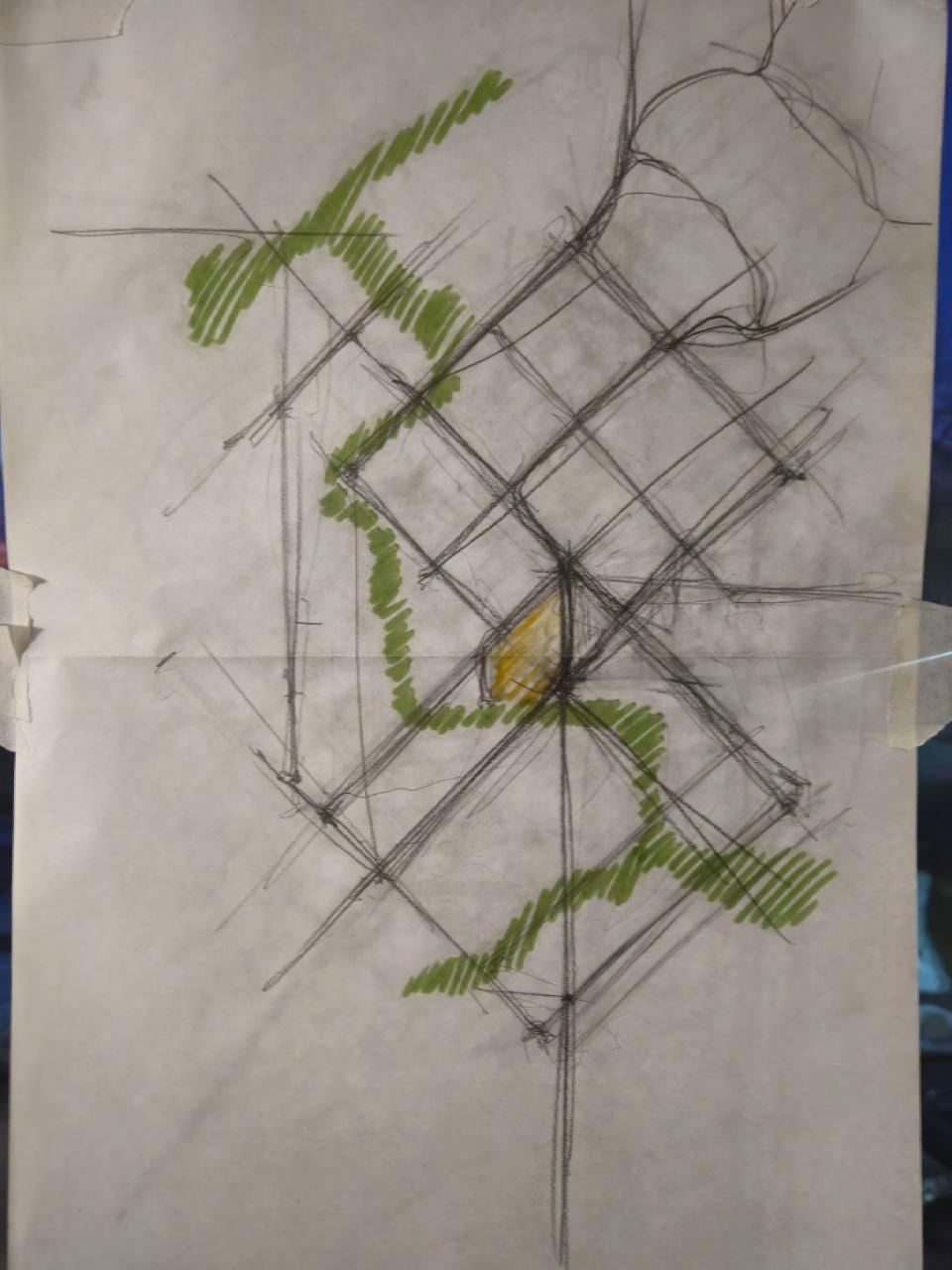
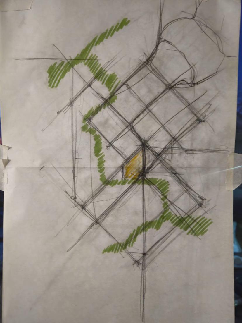

An incredibly lifelike, richly detailed, photorealistic aerial shot of a sustainable eco-city masterplan, set in a bright, clear midday summer environment resembling a green countryside, illuminated by strong overhead sunlight, creating a vibrant and optimistic atmosphere. Captured with a wide-angle lens, emphasizing the intricate details of urban planning and landscape architecture. The scene presents a compact, low-carbon urban design, inspired by Masdar City, with a scale of 1:10000. A prominent railway station is situated in the southwest corner, with a zigzag central boulevard masterfully connecting it to a historic old town located in the northeast. Expansive, tree-lined boulevards and a green ecological corridor, functioning as a linear park, gracefully traverse the city, interlaced with numerous public spaces, plazas, parks, and urban gardens. At the intersection of two large square districts lies a central civic public center plaza. Building developments are denser and taller in the city center, contrasting with the surrounding urban blocks, and solar panels adorn many rooftops. To the east, several wind turbines stand as symbols of renewable energy. An industrial zone is subtly positioned above and to the left of the railway station. The color palette is dominated by soft pastels, with meticulously rendered trees and clean urban blocks, indicative of a professional architectural competition masterplan render. The overall impression is one of eco-futurism, hinting at a seamlessly integrated data center within the city's infrastructure.